
This ride report is brought to you by Judy, our A/B ride leader:
Valley Center with a little bit of Fallbrook thrown in – this has to be one of my favorite routes! I ride it frequently on weekdays and rarely give much thought to the fact that these roads are breathtaking yet not so highly traveled as the coastal or even Rancho Santa Fe roads are. Valley Center is a definite change of scenery! This route had approximately 3700 feet of climbing, but it was steady and long, gradually sloping and very doable for everyone. And almost every climb had a shaded winding downhill as a reward for the effort.

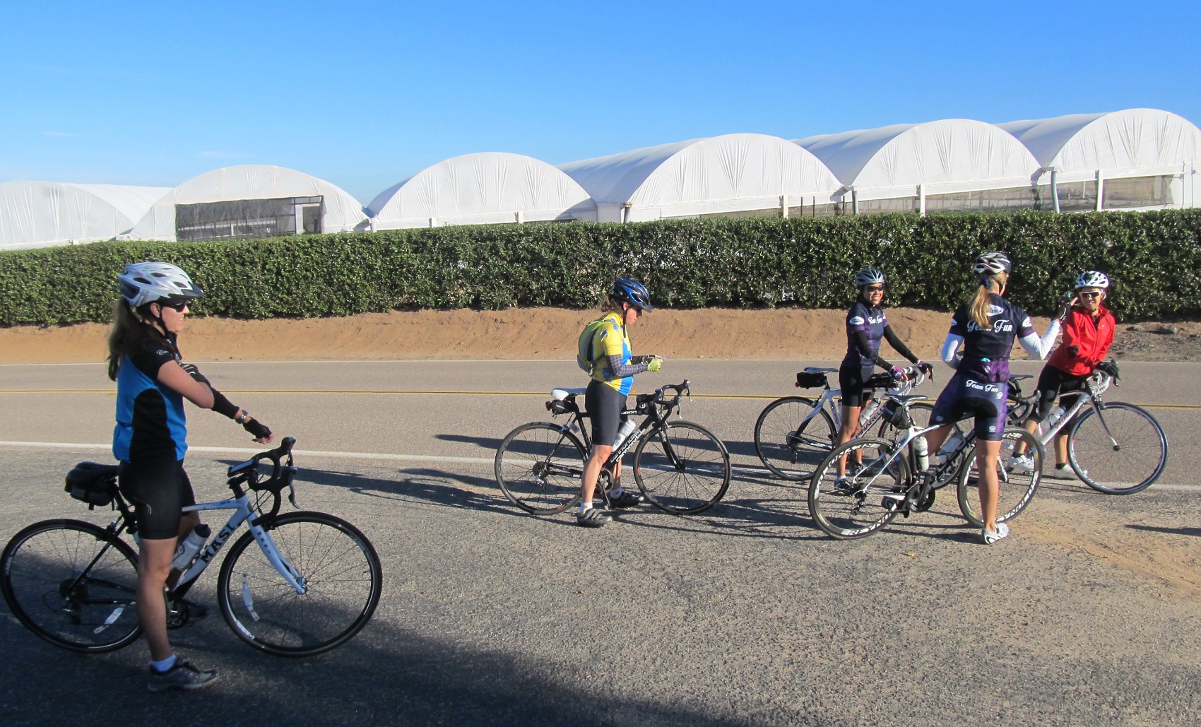
The whole gang at Welk Resort start.

Single-filing north on Champagne Blvd… in search of a warm up hill!
We started out at the Lawrence Welk Resort just off Champagne Blvd (Old Hwy 395). This time of year, mornings can be quite cold, as the frigid air seems to settle in the valley. The temp may have been about 45 degrees (brrrrr!). But it is short-lived, for once you climb out of the valley and into the sunshine, it warms up fairly quickly – for us, the climb up Circle R Dr did the trick.

Turning on the heater at Circle R Dr!

Looking back down Circle R at mid-climb.
Circle R is approximately a 2 mile climb, leading out of Escondido and into Valley Center. By the time you reach the top, you realize you are in a grower’s paradise with large areas of orange and avocado trees (not to mention the horses grazing just feet from the road). This was our first regroup. Yes, everyone made it up the first climb with no problem. We were on our way.
Everyone was accounted for at the top of Circle R.

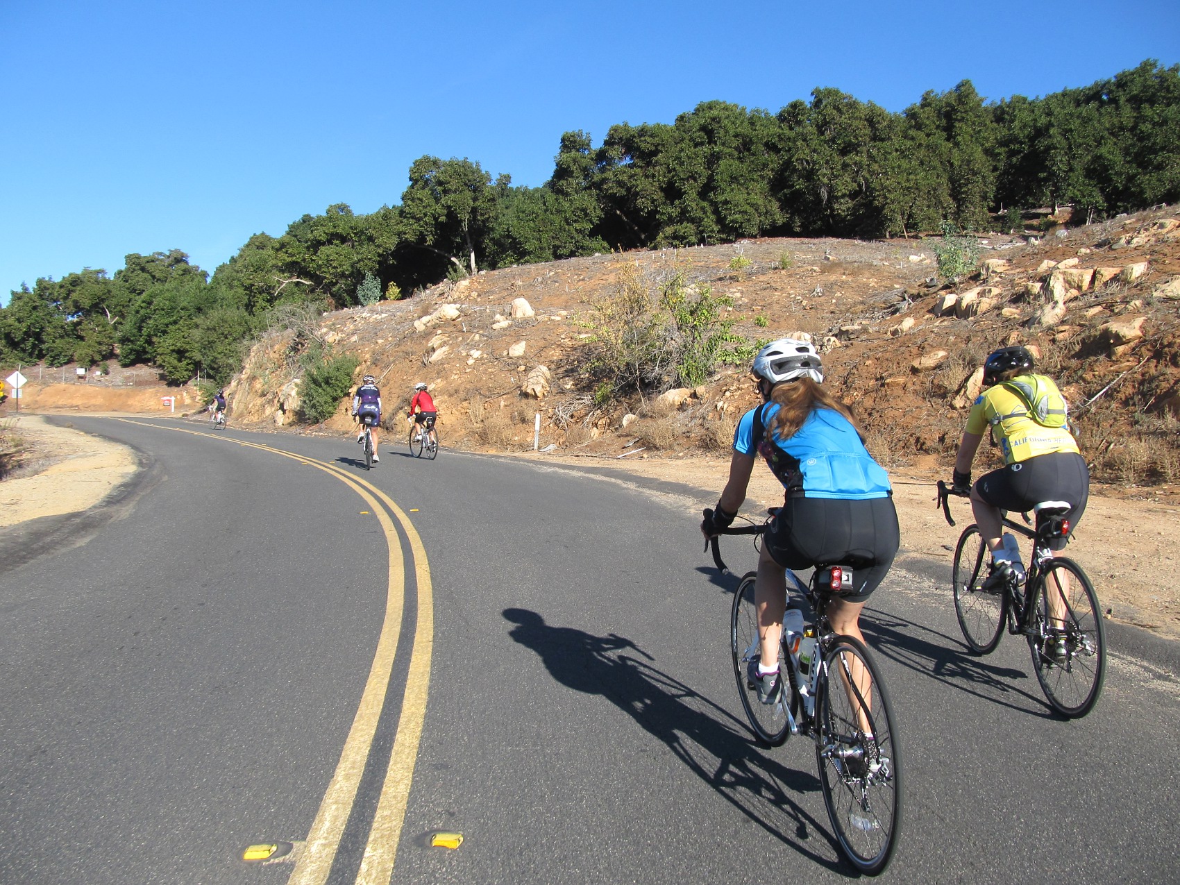
Fun time on wiggly W Lilac Rd.
We headed out on Lilac Rd (everything is labeled “Lilac” in Valley Center) and past the Yellow Deli, which is closed on Saturdays, unfortunately, because they make AMAZING organic energy bars. The road continues through rolling hills before it flattens a bit and you come to Couser Canyon – the shortest yet steepest of the climbs. As you climb up this winding, steep country road, it is tempting to stop and steal an orange, avocado or pomegranate from one of the trees that line the road with no fence to separate them. I think “who on earth would notice?” But I never do it because there is probably some invisible camera someplace or electric wiring, or worse: maybe some vicious dog will come running out of nowhere! Though any of those scenarios are pretty unlikely, I just keep on pedaling up the grade.
Up the steep south side of Couser Canyon Rd.

Couser Canyon Rd’s northern descent is a scenic gem!
Janice and Ariel were the first to make it up. The fact that they didn’t need to stop to rest before descending shows what strong climbers they both are! The descent down to Hwy 76 is an amazingly lush, tree-canopied adventure. In fact, there is sometimes water left on the road weeks after a rain storm. As you approach the bottom, the trees thin out and give way to green meadow as far as the eyes can see. This is cow country. Sometimes they lay along the fence, at other times, they’re out in the field. Today a small group of them were huddled together under a big tree. We stopped for a photo before continuing towards the 76.
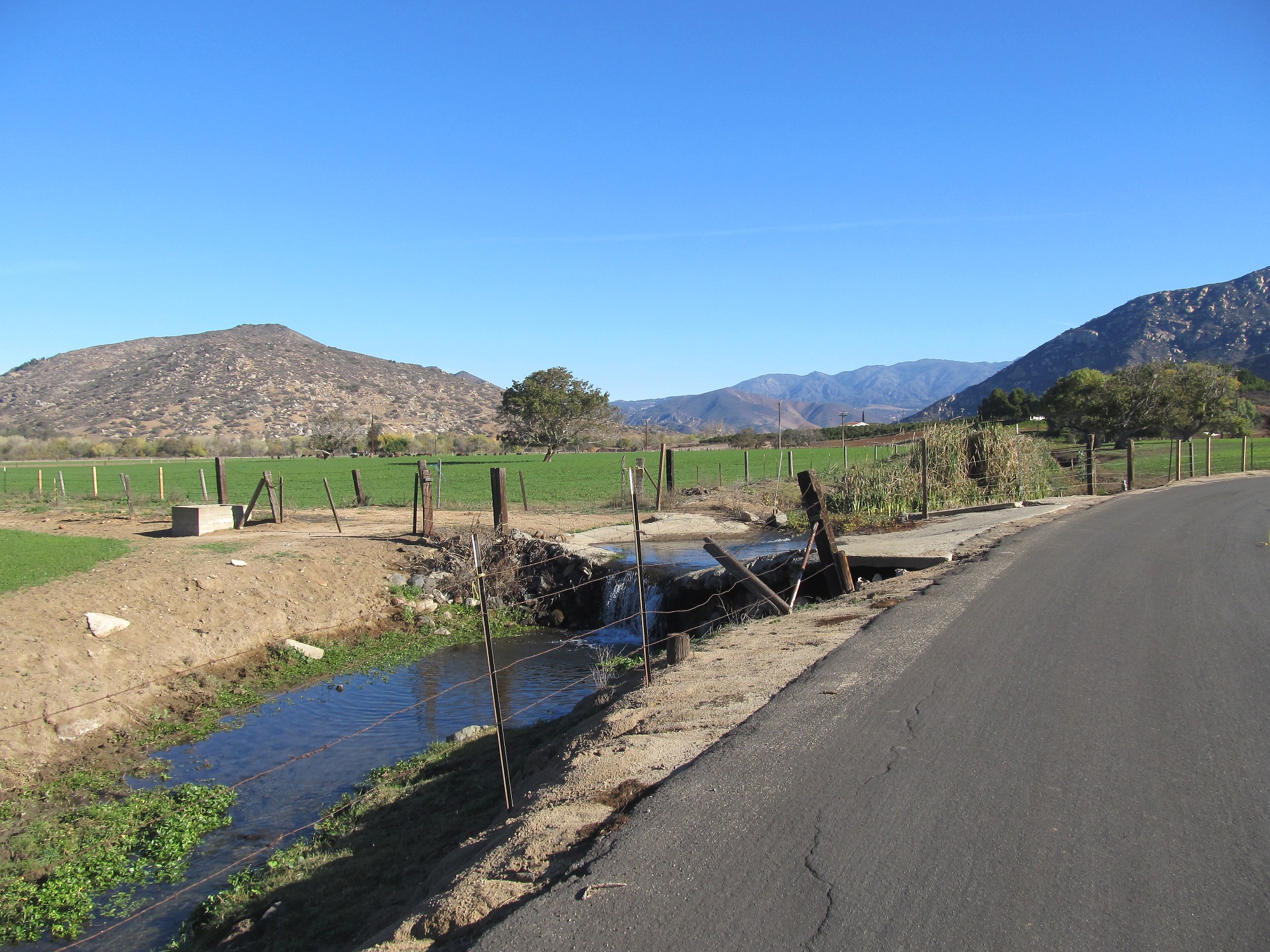
The green meadow at the bottom of Couser Canyon Rd.
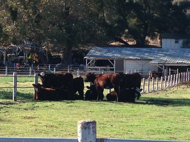
The not-so-lonely cow herd…
Couser Canyon ends at the Hwy. After a left turn onto Hwy 76, you only have to go about 50 yards before turning off onto Rice Canyon Rd– the next major climb. Rice is about 5 miles long, but very gradual. Rice has two climbing sections. The first is the longest, ending with a nice shaded downhill. The second seems steeper but it ends abruptly. You know when you’re at the end when you see the big log cabin off to the left. At this point, you are in Rainbow. (Before I started cycling, I had never even heard of Rainbow).
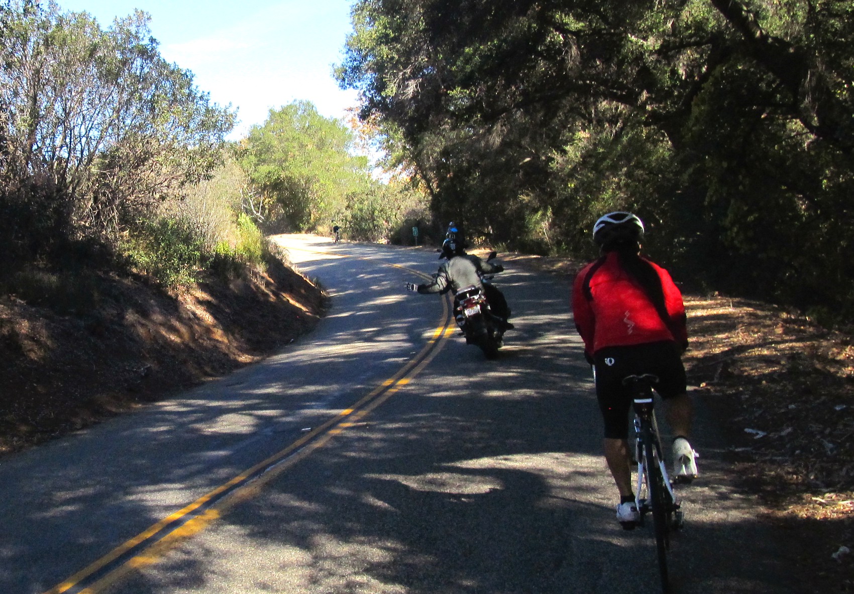
Sharing Rice Canyon Rd with our motorized cousins…
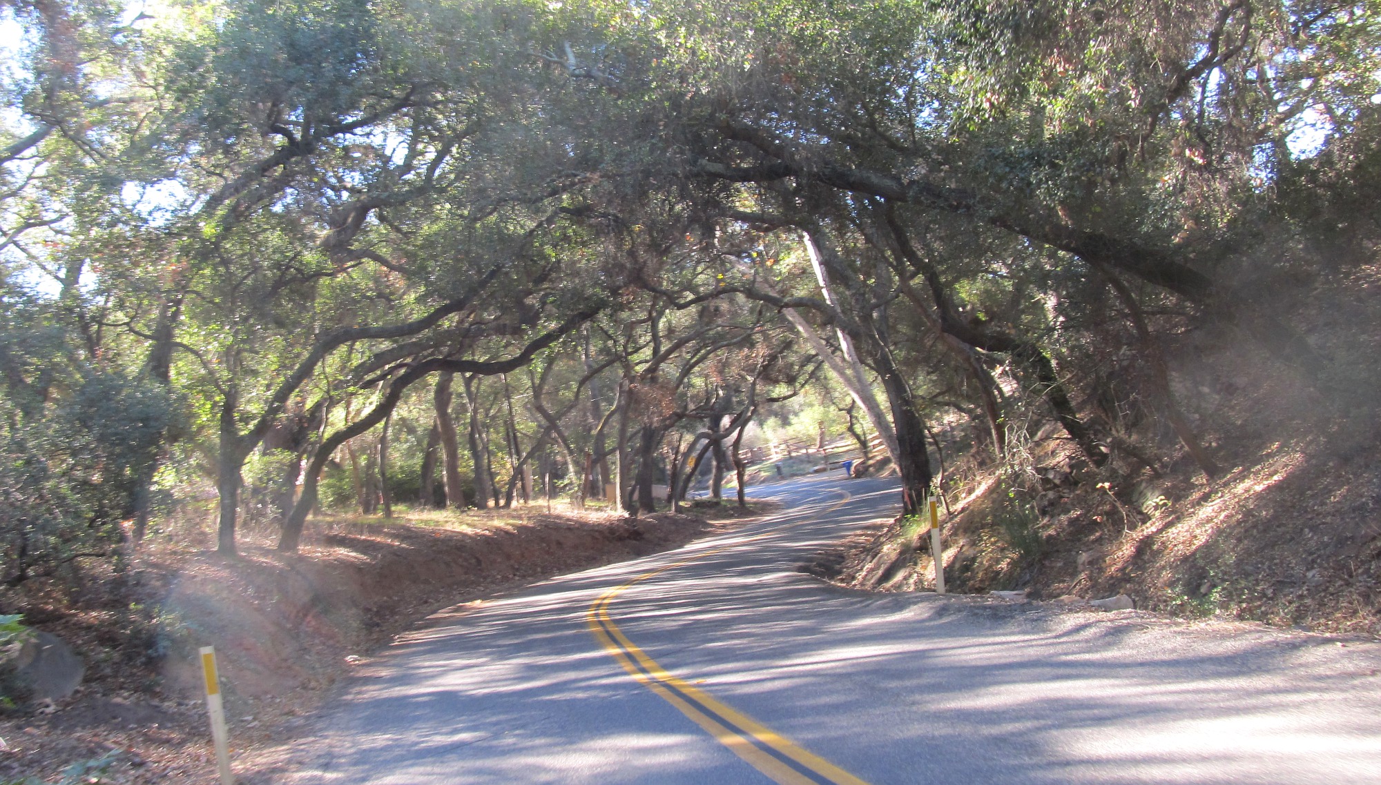
Rice Canyon Rd’s oaked-in twisties (keep an eye on the road, tho. Ruts everywhere!).

All together again on the false flat run into Rainbow.
Rainbow is a cute little community. After a couple of turns, you pass an elementary school before you reach the famous Rainbow Oaks Country Market – a well-known stopping point for cyclists. On most Saturdays, you can expect to run into riding groups who stop to rest and refuel. There’s a farmer’s market outside with picnic tables and a restroom. The inside market sells everything from groceries to fresh coffee to beer and wine (whatever you want). At 20 miles, this was the half-way point of our ride.

Rainbow Oaks Country Market, choiced pit stop for local cyclists!

Because (sane) bikers can’t survive on gels alone…
We left the Rainbow Market and headed south on Hwy 395. After crossing over the 15 Fwy via Mission Rd, we picked up Hwy 395 heading south again before turning right on Reche Rd where we began yet another major climb. The road shoulder is extremely narrow on this major Fallbrook thoroughfare, making single-file riding a must. Thankfully the traffic wasn’t too bad on a Saturday. At this point, my legs were feeling it – and I imagine everyone else felt the same.
Trying not to get squeezed off the pavement on Reche Rd.

A proper shoulder appeared once we got to Live Oak Park, tho.

Hell bent on Heller’s Bend…
We came to a four-way stop at Green Valley Rd, turned left and continued through shady Fallbrook, sharing the road with cars – something that was less of an issue in the more rural part of town. Green Valley is, in my opinion, one of the most scenic parts of Fallbrook (except for De Luz). Perhaps it is the downhill portion that makes it so enjoyable. It ends at Mission Rd. A left turn there brought us to a small detour road called Heller’s Bend, taking us off the main road so we can regroup a little before returning to Mission Rd. We stayed on Mission until it ended at Hwy 76 (sound familiar?) A right turn onto 76 brought us to Olive Hill/Camino Del Rey in Bonsall (the home stretch. Yay!).

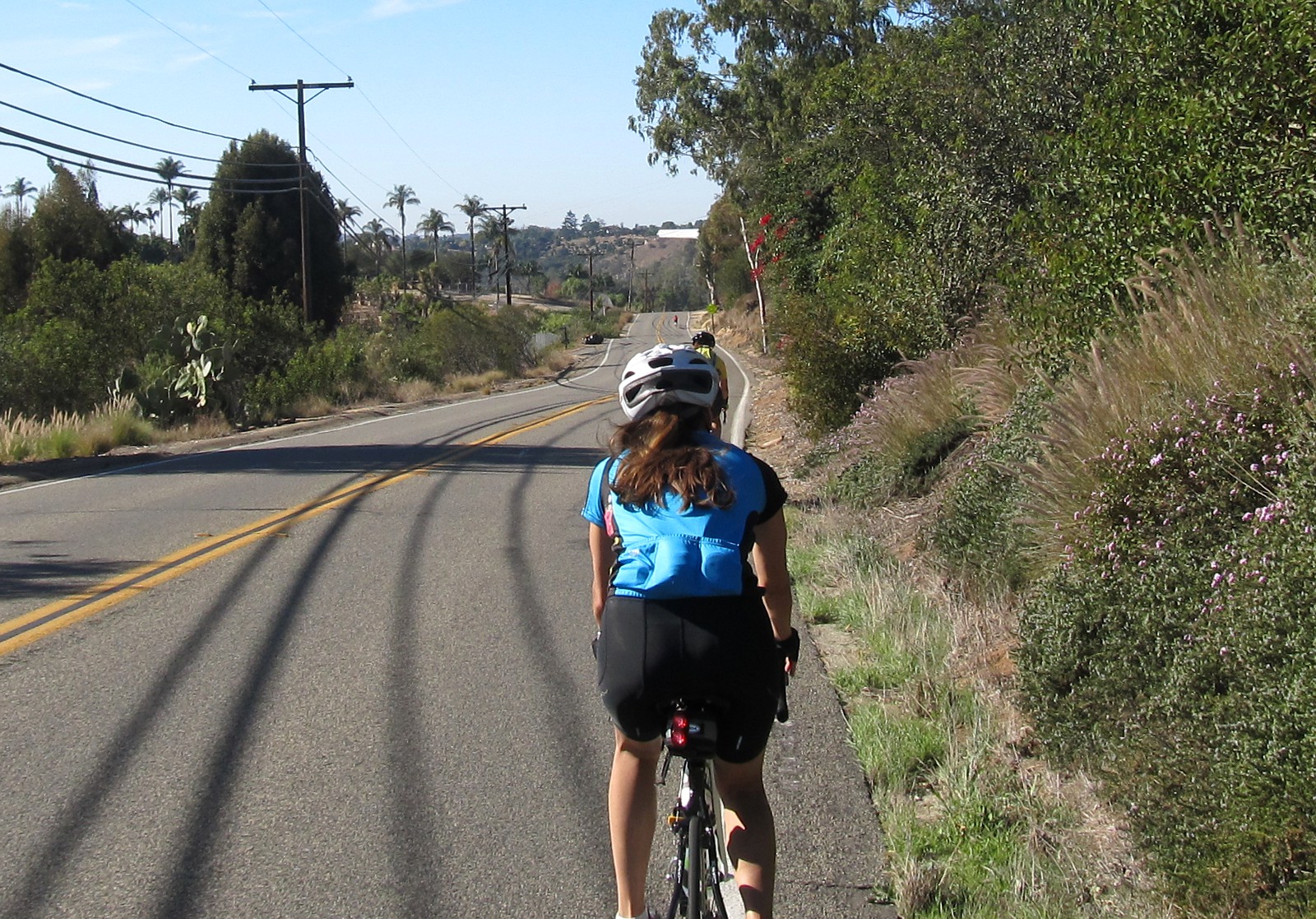
Heading east on Camino Del Rey.
False flat = hammerfest!

The field along Camino Del Rey.
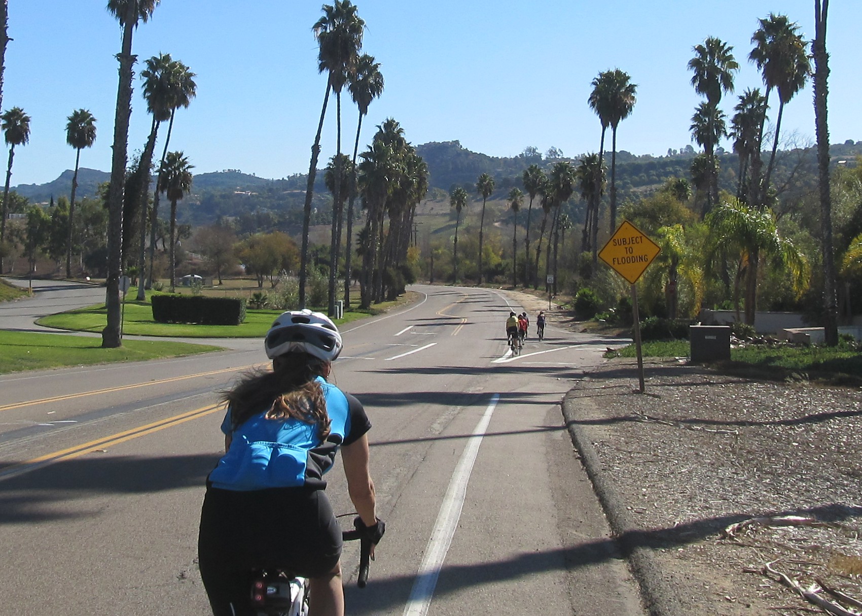
We turned left onto Camino Del Rey and rode past the golf course (brown now from lack of water). Camino Del Rey is a long flat road connecting Bonsall to Escondido. It winds past some large horse properties, including the famous San Luis Rey Downs, before intersecting with Old Hwy 395 – the main road used to travel to Riverside prior to the 15 freeway being constructed. Unfortunately, since it isn’t the main road for cars any longer, it doesn’t get repaired very often, so cyclists be careful!

Final regroup at Champagne Blvd (Old Hwy 395).

Finishing up at Welk Resort!
A right turn onto Hwy 395 took us back to Escondido. We passed by the Deer Park Winery where Kim’s group stopped for a taste. (Why didn’t we stop? Oh well – maybe next time!) We reached our destination at Lawrence Welk in just under 3 hours riding time. Considering the hilly terrain, I think we did pretty well! Kudos to Michell, Janice, Ariel, Suzanne, and Jennifer! You girls are studs!
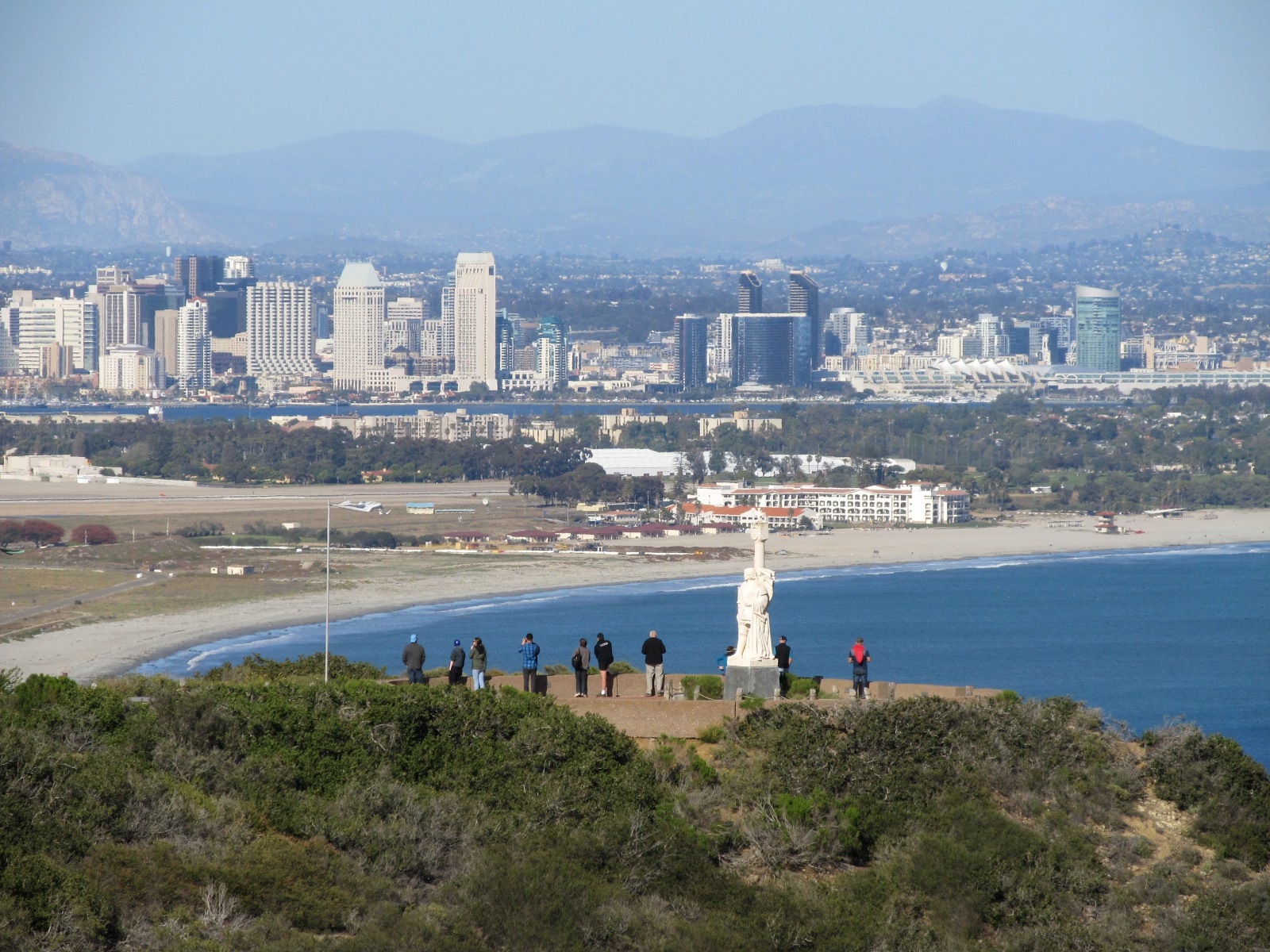
On to Cabrillo!
Coming up next Saturday (Dec 6th), we are riding to Cabrillo National Monument from Torrey Pines Gliderport! A and B groups are in for 47 or so miler at different speeds. C group is on a more direct route at very mellow pace. Please check the meetup page for final plans of invasion!
